Campus Scanning
2016-21
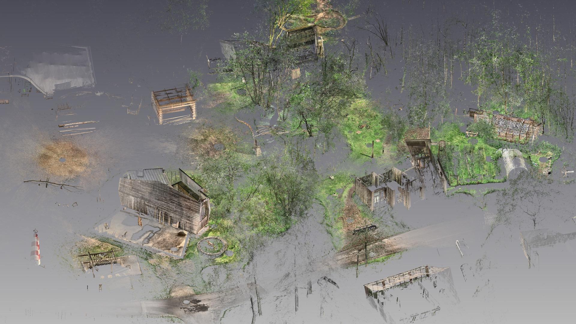
In 2016 we initiated a project to apply 3D scanning techniques initially employed in Hooke Park at the scale of a single building component to the scale of the campus and surrounding woodland.
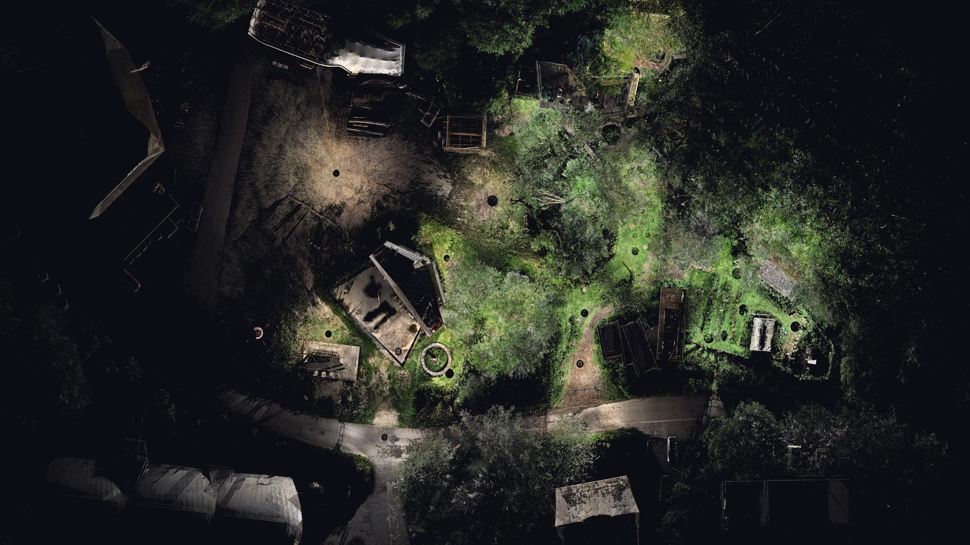
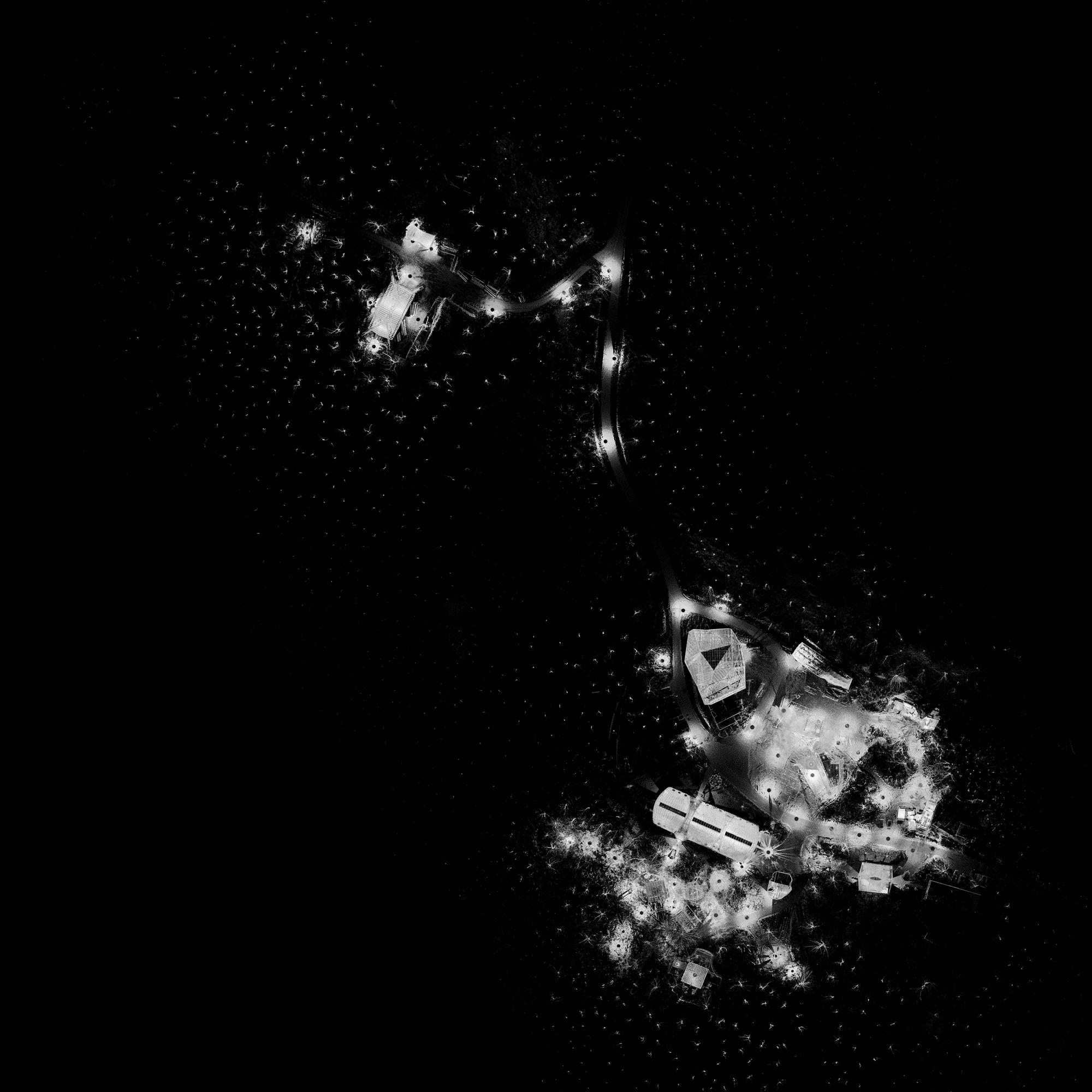
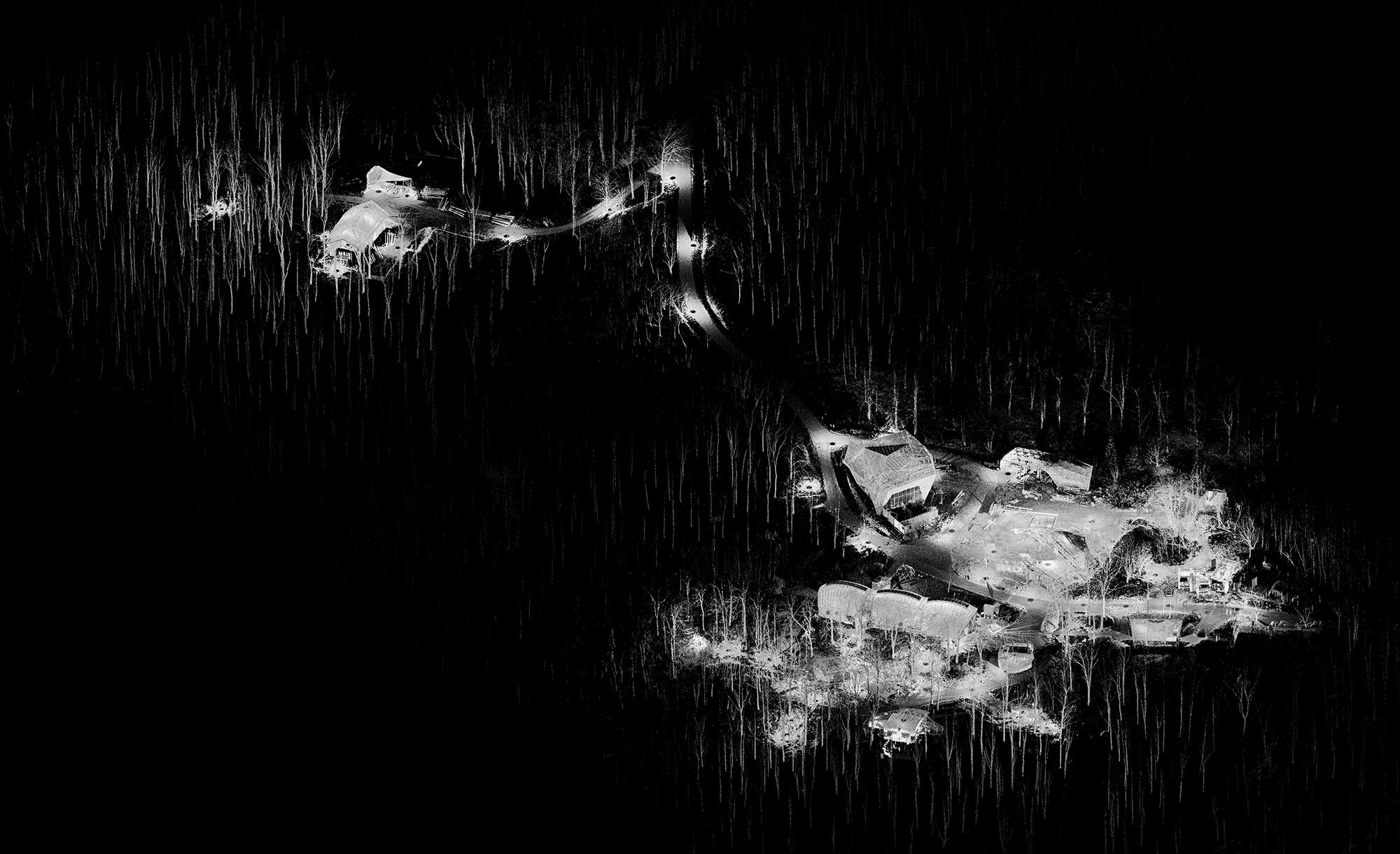
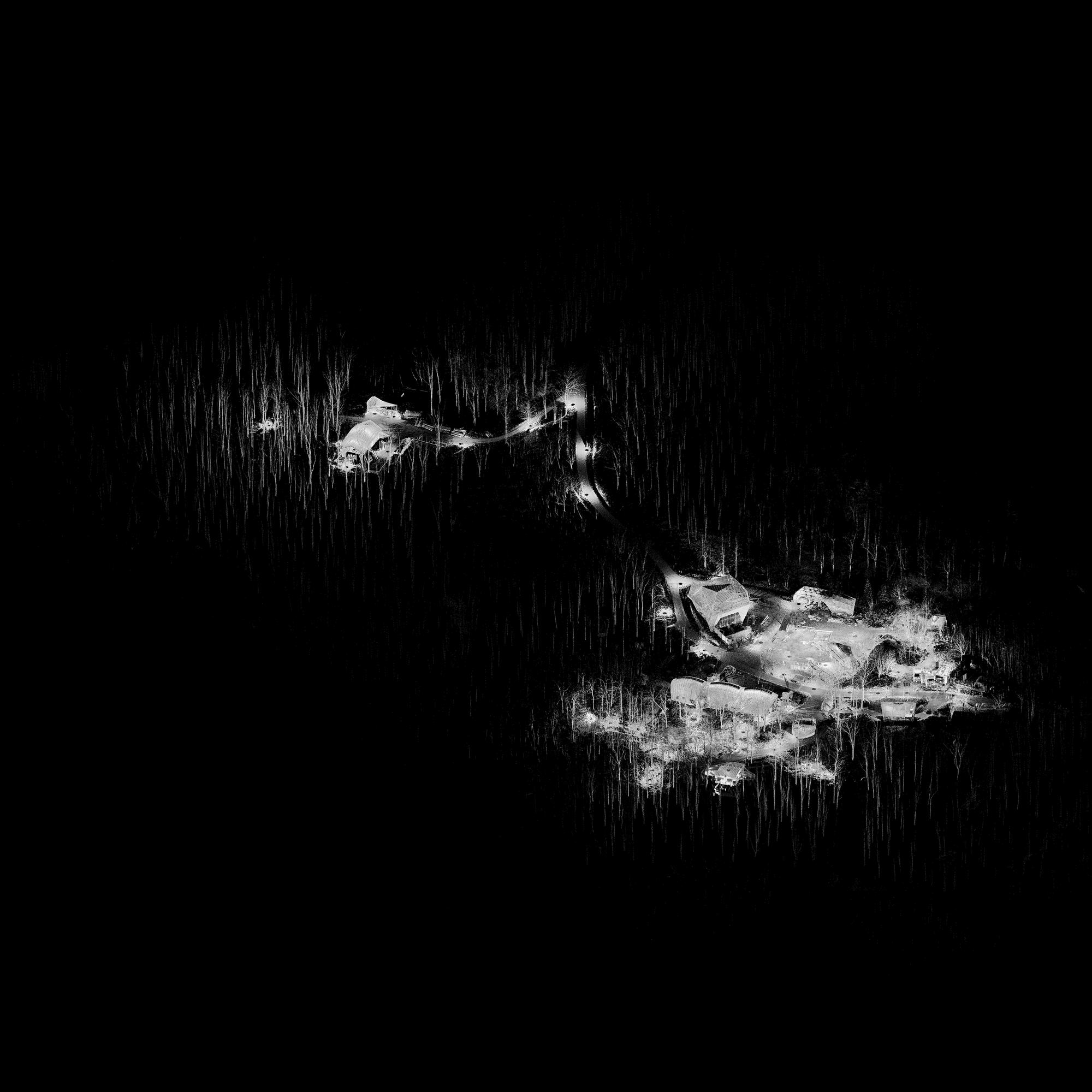
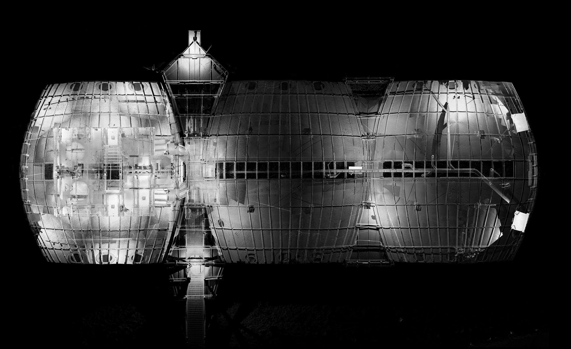
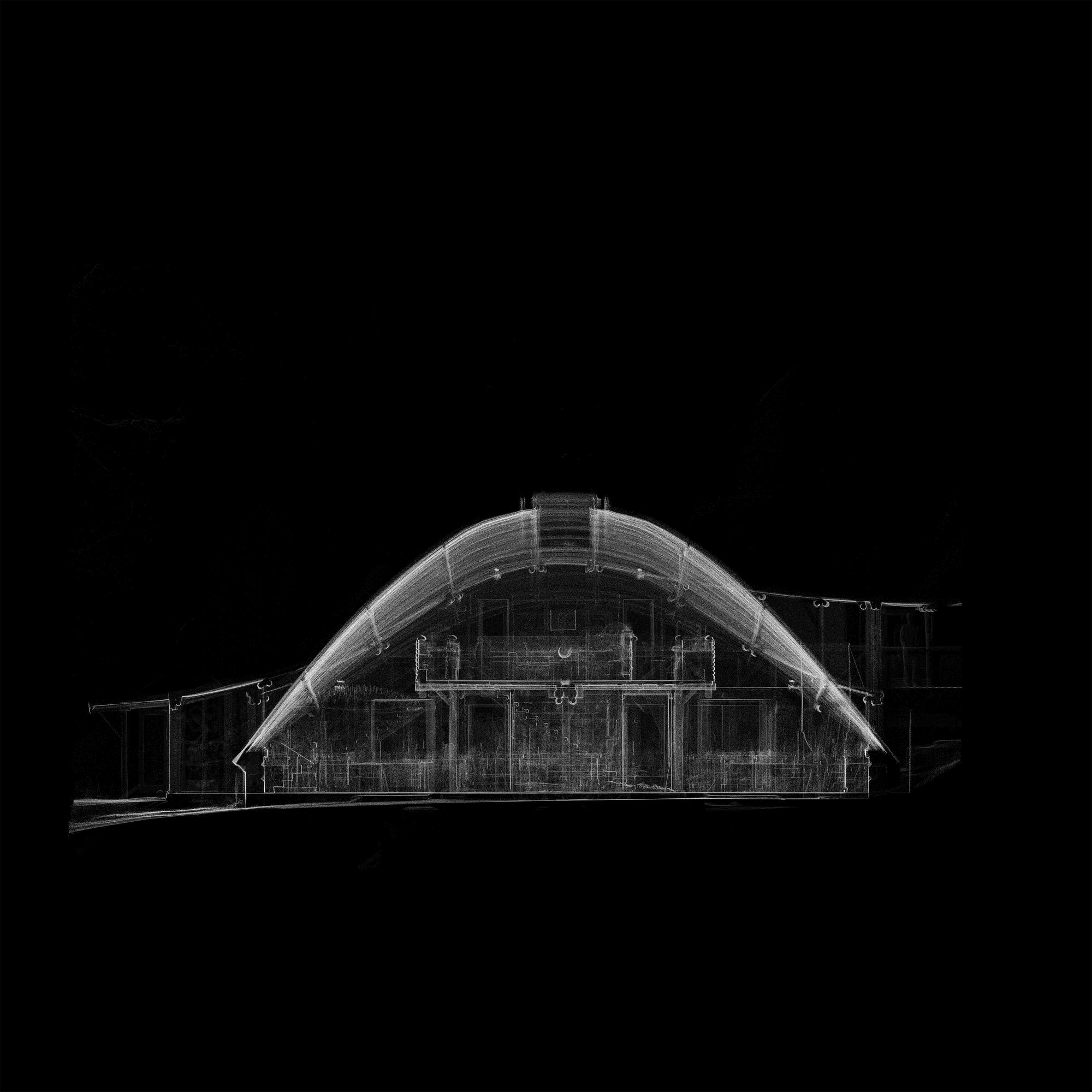
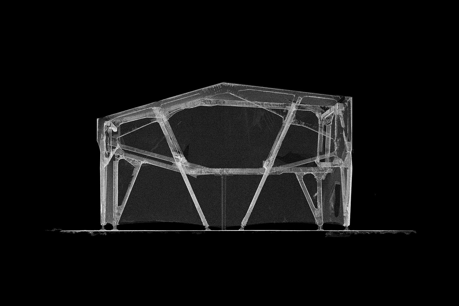
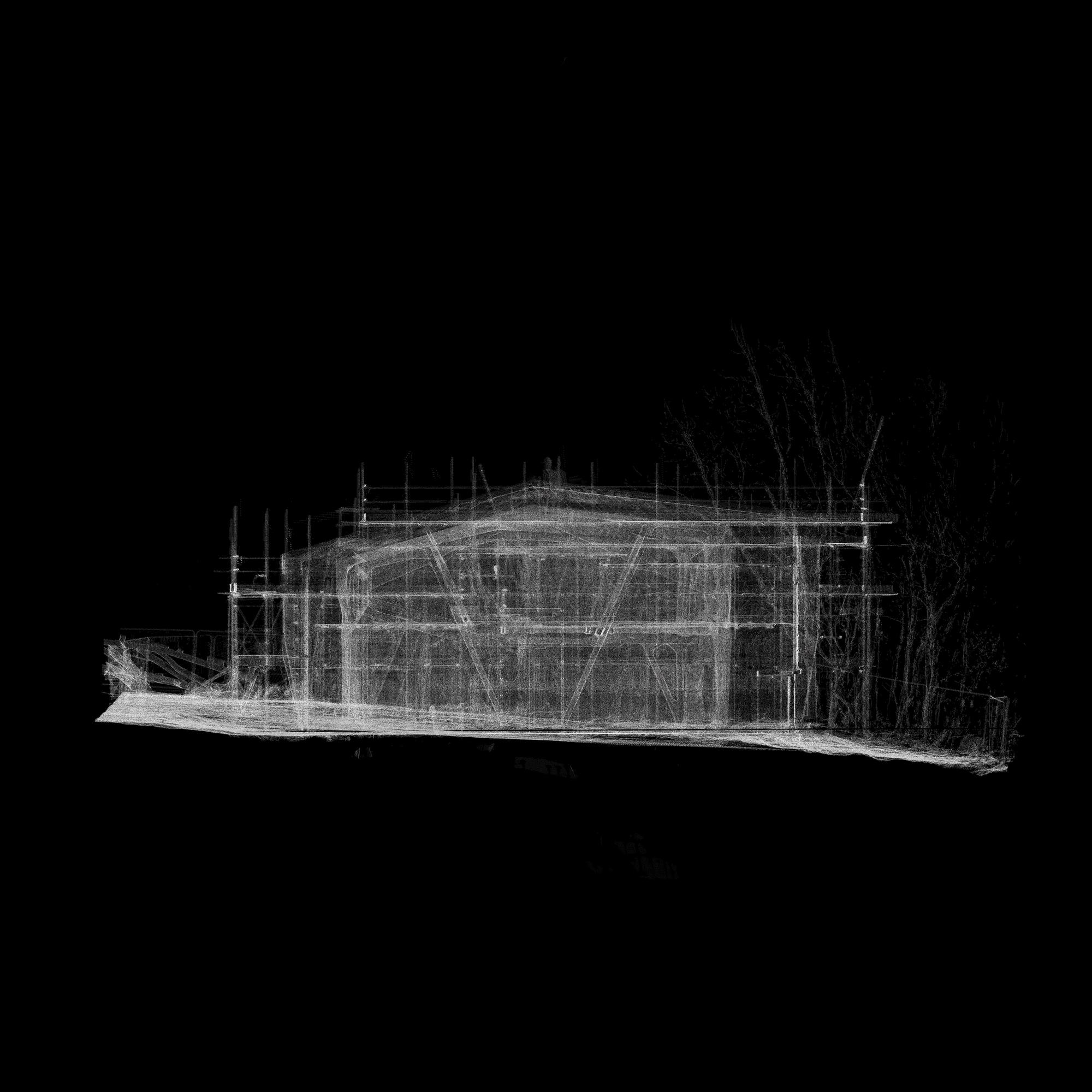
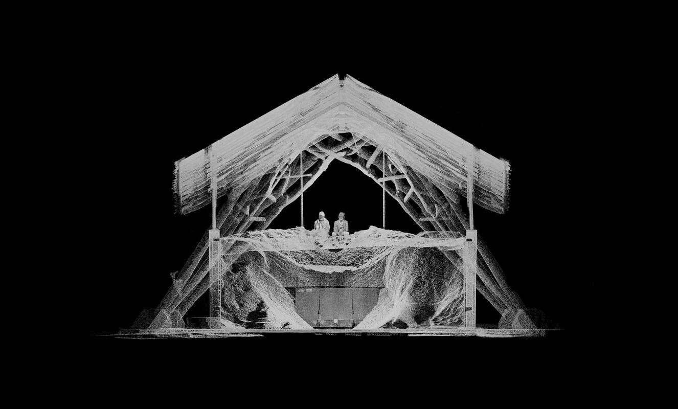
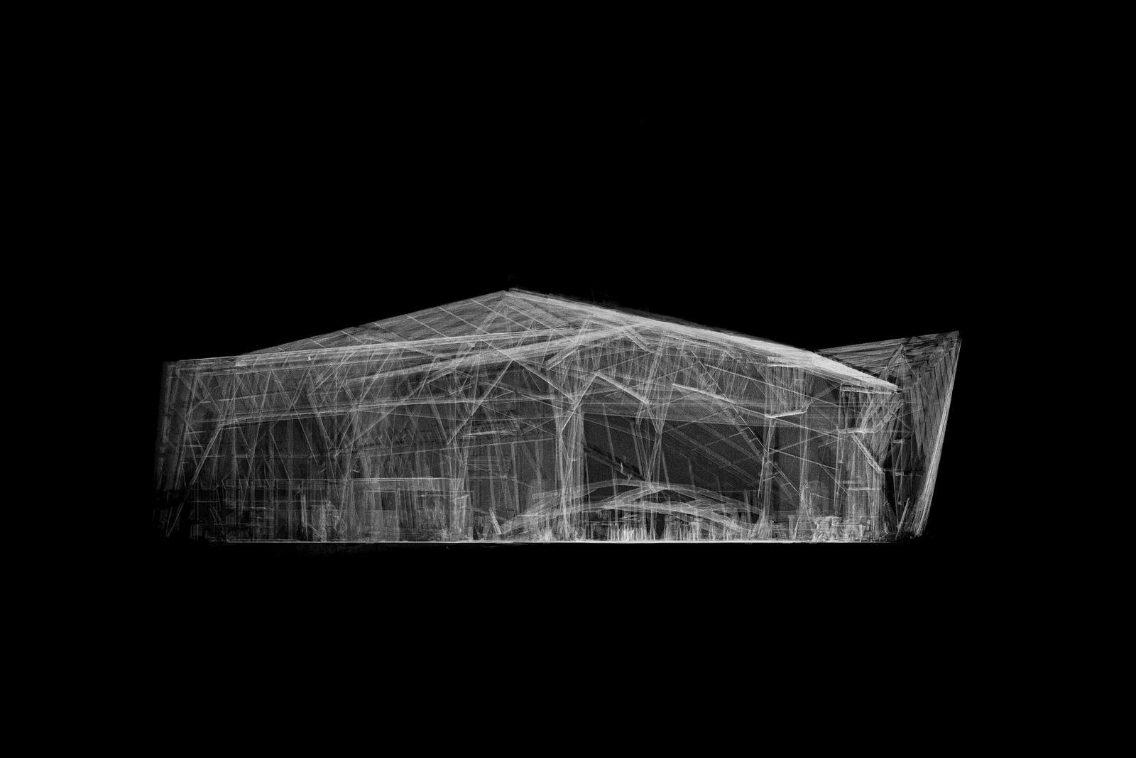
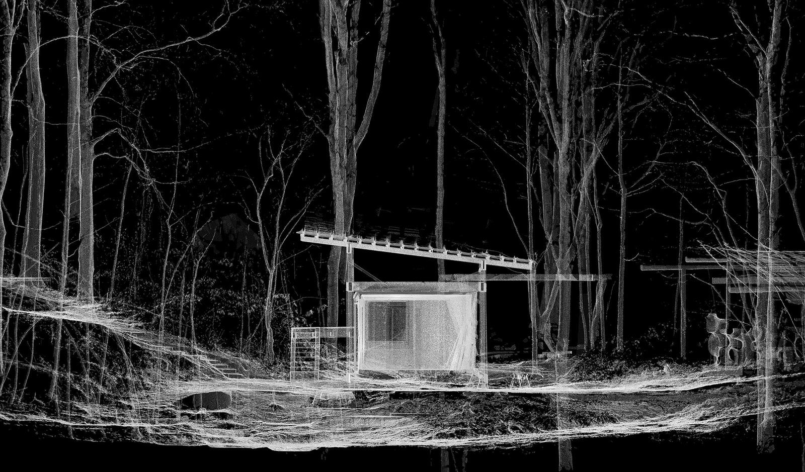
Tirelessly aligning more than 250 LiDAR scans captured over the course of five years, a composite model emerges. Comparing exact scan data to design drawing we have been able to precisely document and evaluate things such as assembly accuracy and the change of projects over time. In instances where multiple scans capture the same scene at different times, impossible timelines emerge – nonsimultaneous events are displayed in parallel.
Category
3D Scanning