Forest Scan
2016-19
A 3-year project working in one of my favourite compartments of Hooke Park’s woodland.
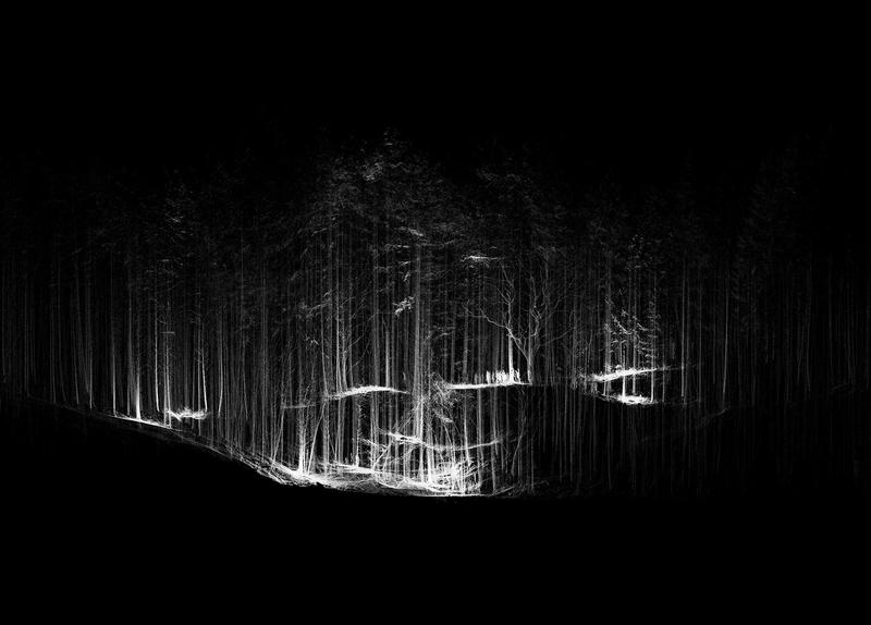
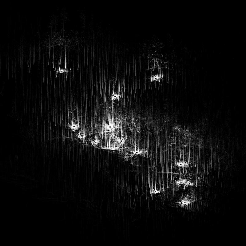
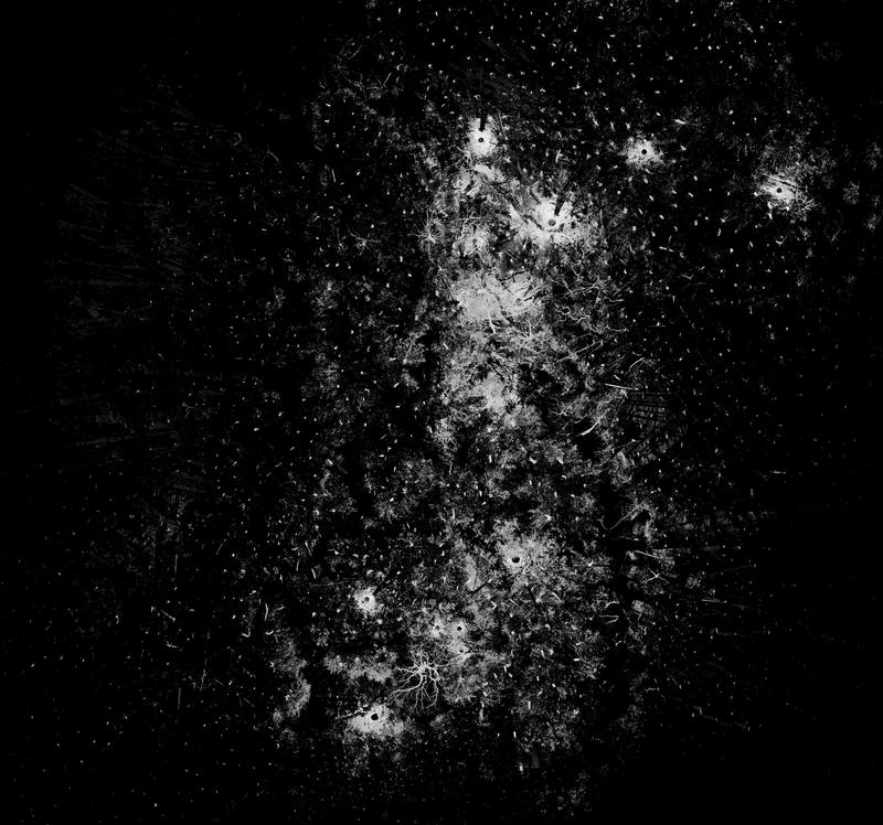
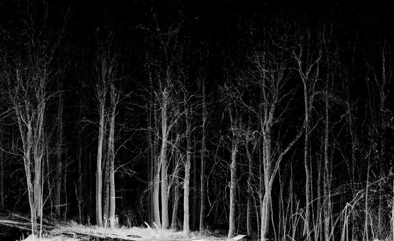
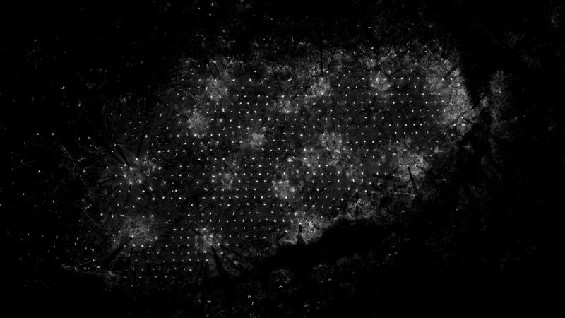
Creating a large scale 3D scan of a mixed conifer woodland through the alignment of 30+ scans captured through LiDAR. In addition to animations, the data has been used to begin to analyse topography, species and tree geometries.
Collaborators
Jean-Nicolas Dackiw
Category
3D Scanning